Château de Vincennes – Address & Directions
How to Get to the Château de Vincennes?
The Château de Vincennes is conveniently located just outside the eastern edge of Paris, making it easily accessible via the city’s extensive public transportation network.
The main ticket office and entrance is officially located at:
1 Avenue de Paris, 94300 Vincennes, France
- By Metro (Underground)
- By RER (Regional Express Train)
- By Bus
- By Car
The most direct and fastest route from central Paris is by Metro.
Line 1 (Yellow Line): Take the train to the eastern terminus, Château de Vincennes station.
The station exit is immediately adjacent to the fortress grounds. Follow the signage for the Château.
The RER offers a quick connection from many major hubs in Paris, including Châtelet–Les Halles and Gare de Lyon.
RER Line A (Red Line): Take the train to the Vincennes station.
From the RER station, the Château entrance is approximately a 10 to 15-minute walk. Follow the signs leading north toward the main fortress.
Several local RATP bus lines serve the area, with stops located very close to the Château entrance.
Bus Lines: 46, 56, 112, 114, 115, 118, 124, 210, 318, 325.
The closest bus stop is Château de Vincennes.
While driving offers flexibility, note that parking directly at the monument is not permitted, with the exception of vehicles for visitors with reduced mobility displaying a valid disability card.
Directions: From the Périphérique (ring road), take the exit for Porte de Vincennes or Porte de Reuilly and follow signs for the town of Vincennes.
Parking: Street parking in the area is generally scarce and reserved for residents. Visitors should use one of the nearby public underground car parks in the town of Vincennes, such as:
Parking Indigo Marigny Château (Cours Marigny)
Parking Indigo Cœur de Ville (Avenue de Vorges)


Visit the Château de Vincennes
Highlights
Skip the standard queues with priority entry.
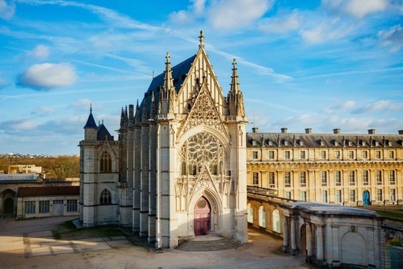
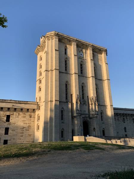
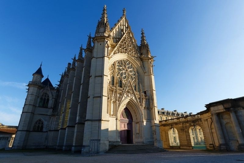
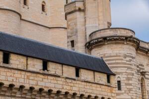
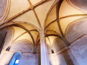
Explore a château that once served as a royal residence.
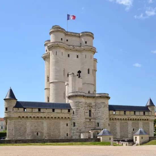
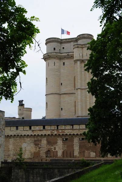
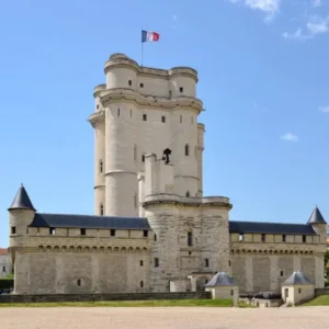
Visit the highest medieval keep found anywhere in Europe.
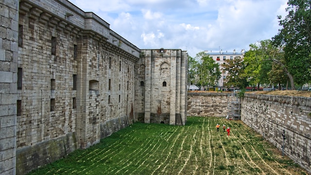
Discover the castle grounds including a moat, towers, and gates.
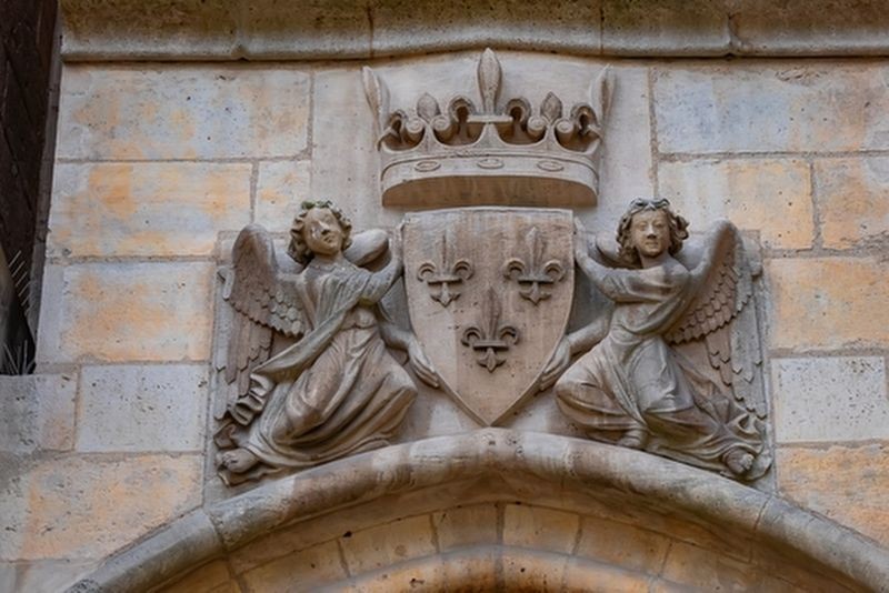
Witness the rich historical significance linked to French royalty and notable prisoners.